|
Rushing water, forests, moors, snow covered mountains, a tranquil loch, no traffic to speak of and a thrilling descent are reasons to take the longer and quieter road between Golspie and Dornoch in Sutherland.
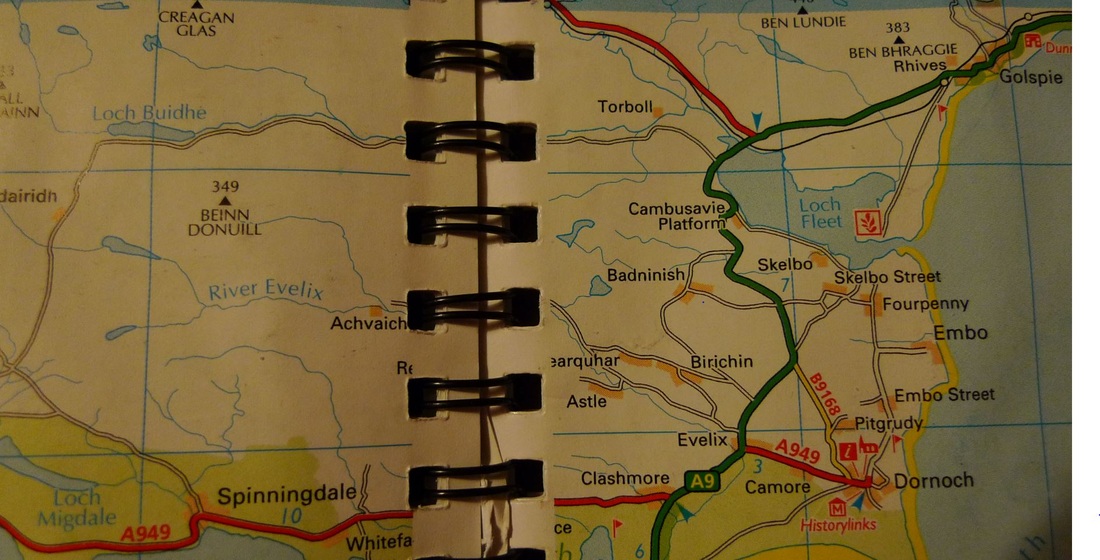
Even on a map these roads excite me. A thin white line heading into the wilderness towards a small loch. It has lots of twists and turns and no sizeable settlements marked on it. I always seek out roads like this on my map because I know that they will be perfect for cycling. There will be hardly any traffic and stunning scenery.
Leavng Golspie there is no choice but to cycle on the A9 for a short distance, about 4 miles, but I know that it will be worth it to reach the single-track road. It passed in a blur as I kept my head down and focussed on getting to the turn-off. I remember a garden carpeted in snow drops, geese gathered in a field and a sign warning of otters ahead. The highlight was crossing the bridge over Loch Fleet at the Mound where there is a fast descent and a stunning backdrop of hills.
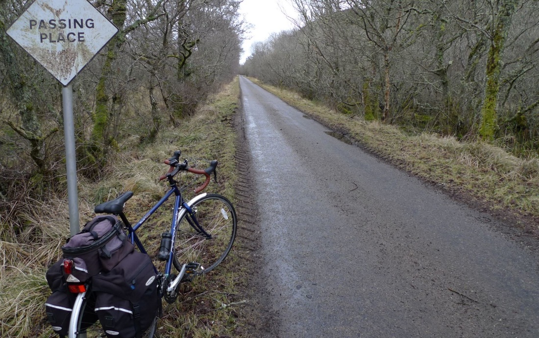
I can tell you that I started to feel anxious. The traffic was not too bad at this time, but it still made me nervous. Those feelings disappeared immediately as soon as I turned on to the single-track road marked for Loch Buidhe. It was instant transormation and I became relaxed and calm.
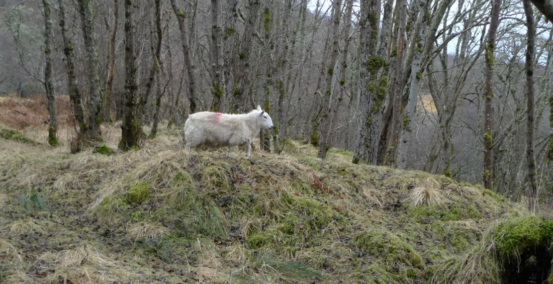
It was not long until birdsong was the only sound. Even the sheep were quiet. They were well hidden within the trees, keeping a close eye on me and dashing off whenever I tried to take a photo. Sometimes I got a fright when I saw their white faces staring out from the trees.
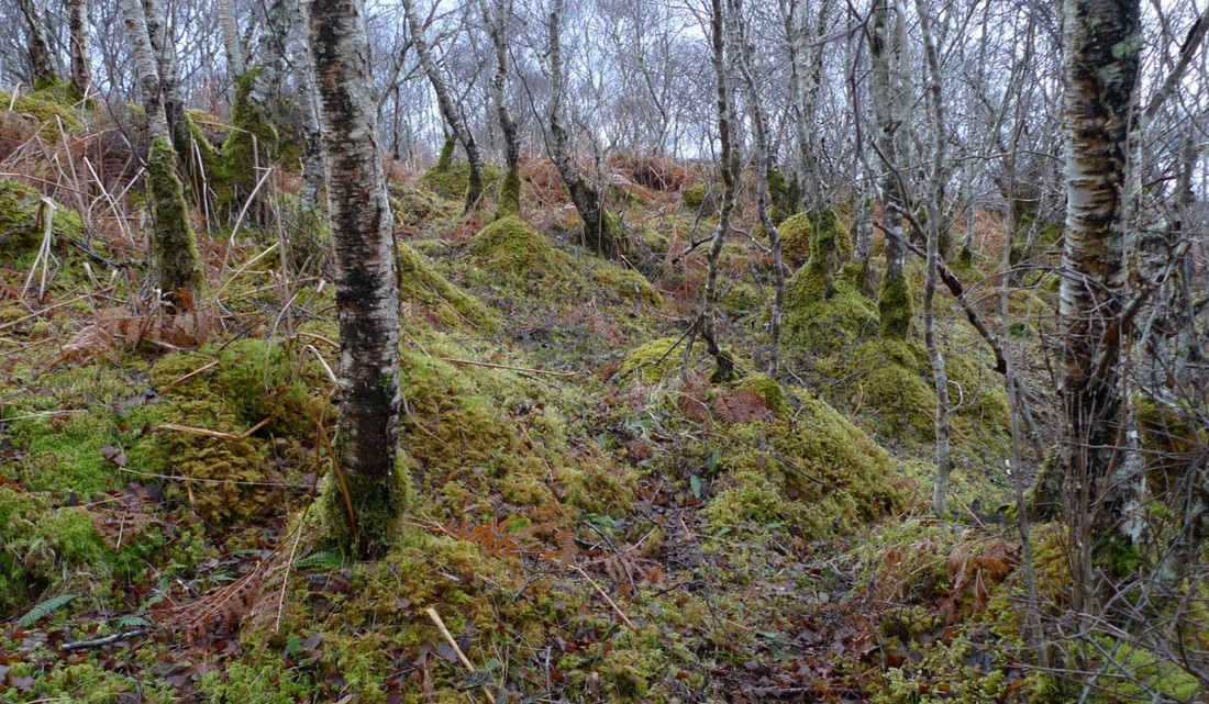
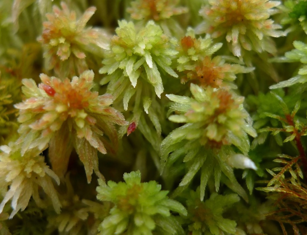
I wondered what they found so interesting within the forest so I stepped off my bike and took a closer look. The forest floor was lush and bouncy in greenery, including clumps of moss. I bent down to take a closer look at the moss and found intricate detail, as beautiful as any wildflower.
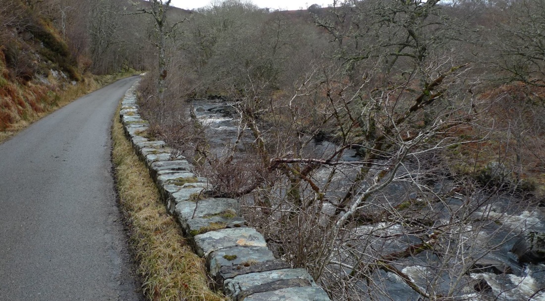
The road ran alongside a rushing burn so this became my soundscape and I loved it. There is nothing like the sound of water making its way through the countryside to clear your head.
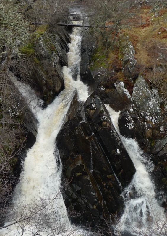
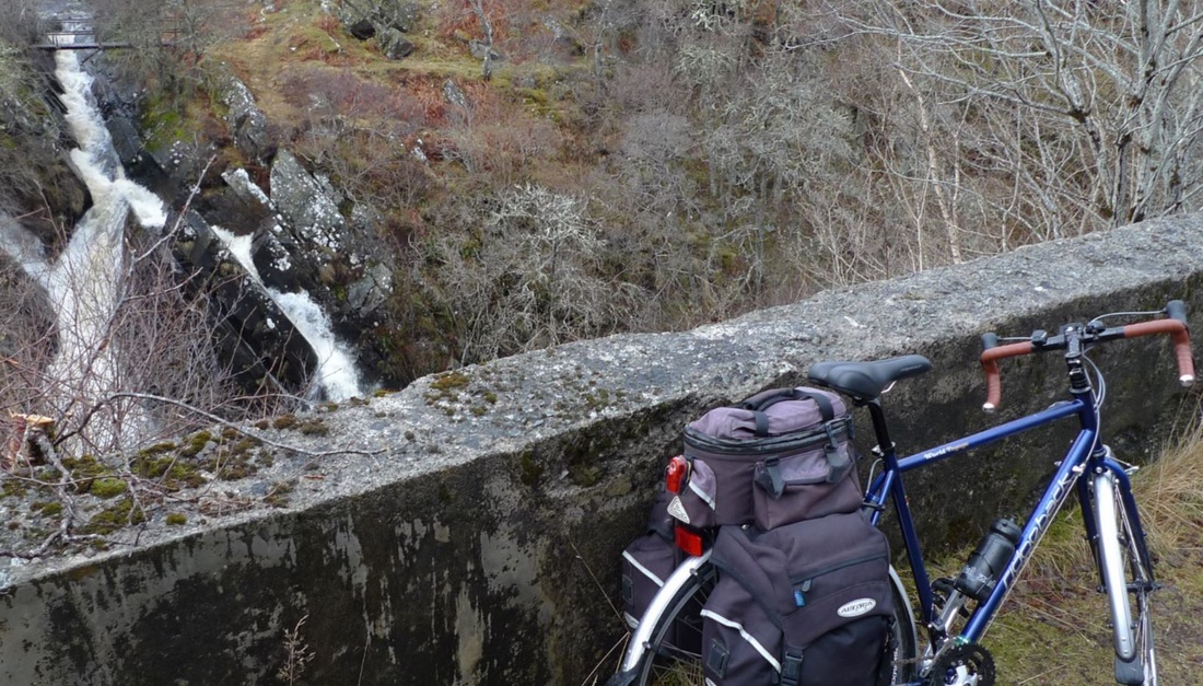
I love surprises on these roads and there was one waiting for me just around the corner. There was no warning. It came out of the blue. All of a sudden. There was a gushing waterfall right by the side of the road. I had no idea this was going to be here. There was no mention of it on the map or in anything I read about the area. I loved that. My secret waterfall and I had it all to myself. I stayed here for ages watching it and enjoying the noise.
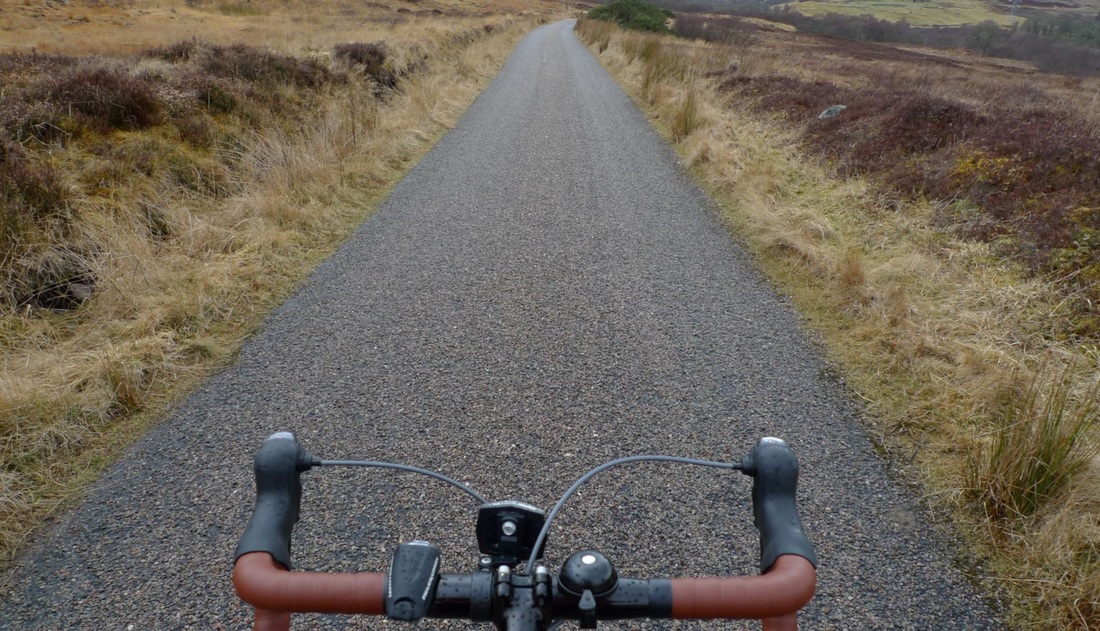
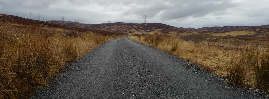
The road then enters Heather covered moors. This is a more barren and wilder landscape than what I left behind me. The road is flat and mostly straight and I was able to get up a good pace.
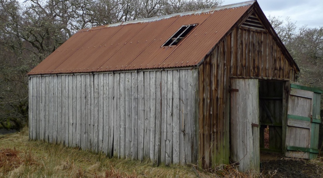
There was no sign of life apart from the sheep. The entire time that I was on the road I saw only three cars. I took my time and stopped frequently to appreciate the peace and quiet and have a good look around at things, like this barn with its rusty-red roof and ramshackle wooden doors:
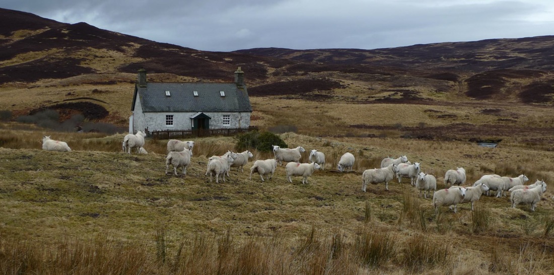
This was such a wild and isolated place that it was hard for me to image living here. But somebody was. A little white cottage with a wooden door porch sitting in the moor surrounded by sheep. These sheep did not run away. They were relaxed and on this tranquil day this looked the perfect place to be. I could easily imagine this scene on a postcard stand.
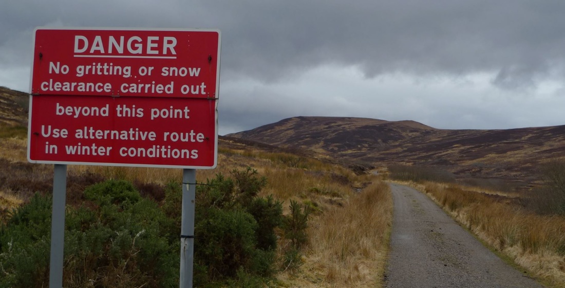
But just yards away a sign hinted at the dangers of this place in the winter:
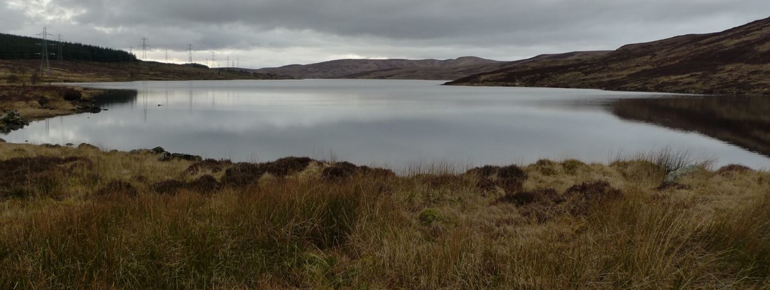
The next treat on this route was Loch Buidhe. This is the only place marked on my road map, so in my mind this was the landmark to aim for, the reason to come here.
The loch was still with barely a ripple on the surface. I stopped to enjoy the near silence. Only songbirds and the gentle trickle from a burn could be heard.
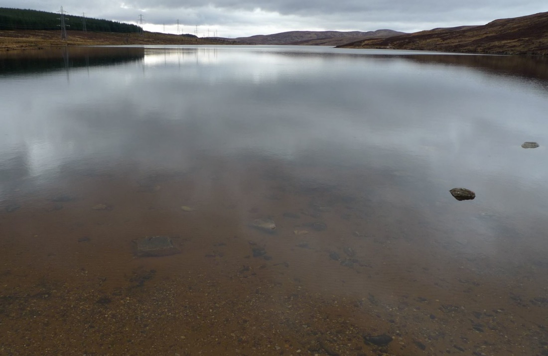
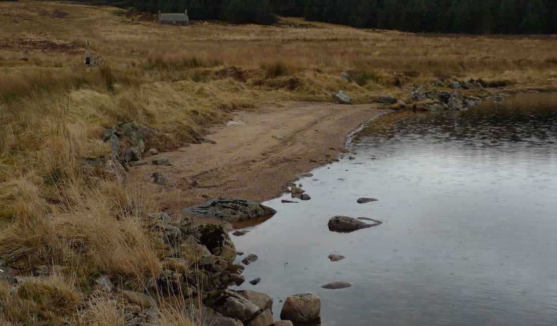
In fact, the loudest sound was my feet crunching on the sand of the beach. I was delighted to discover that the loch has a little beach that I could take a stroll on and go right up to the shore where the water was incredibly clear and I could see straight through to pebbles of different sizes, shapes and colours.
I could easily have stayed here all day. I imagined that on a warm summer's day this little beach would be the perfect little place to soak up some rays.
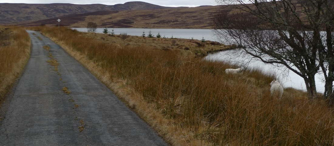
The road skirts the shore of the loch so I had great views of it and the hills behind it. This section of road had moss growing down the middle, nature's white line.
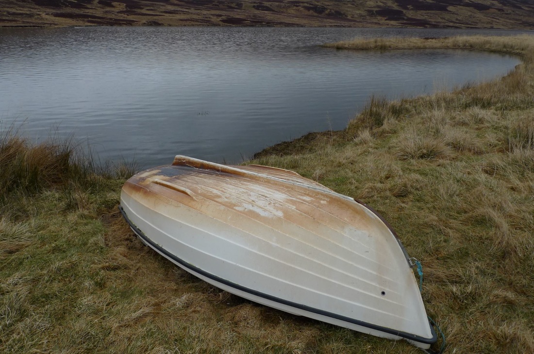
There were a couple of boats resting on the shore, perhaps for fishing trips or just a spot of fun.
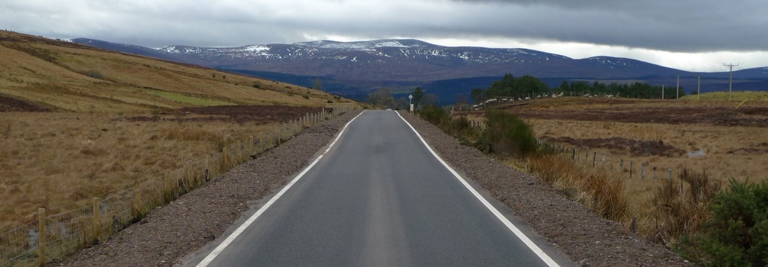
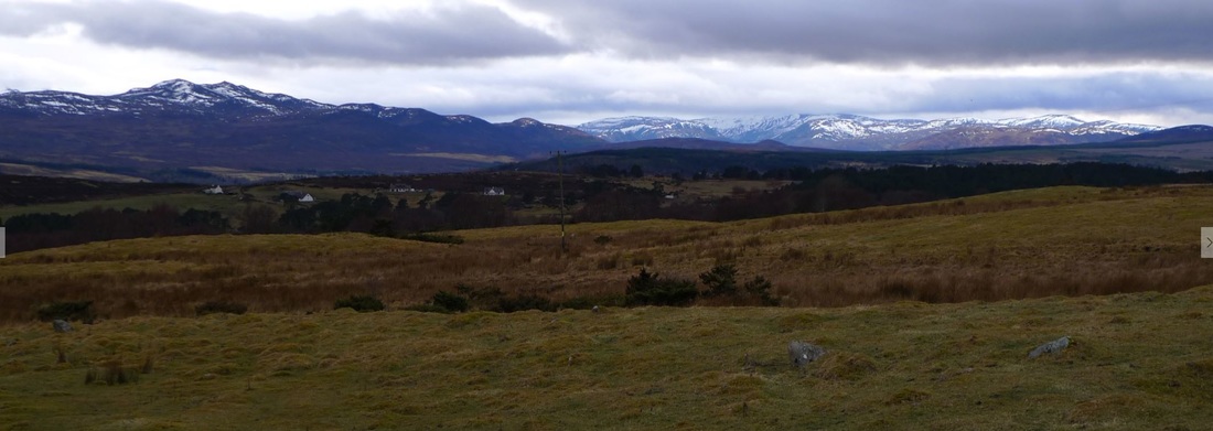
After the loch there was more moorland and I started to wonder if I had now passed the best of this road. I was getting a bit too used to the moors and my mind stared to wander. And then, boom! Something amazing suddenly comes into view. The horizon had snowy mountains. It was stunning and I could not take my eyes off it.
This road was full of surprises.
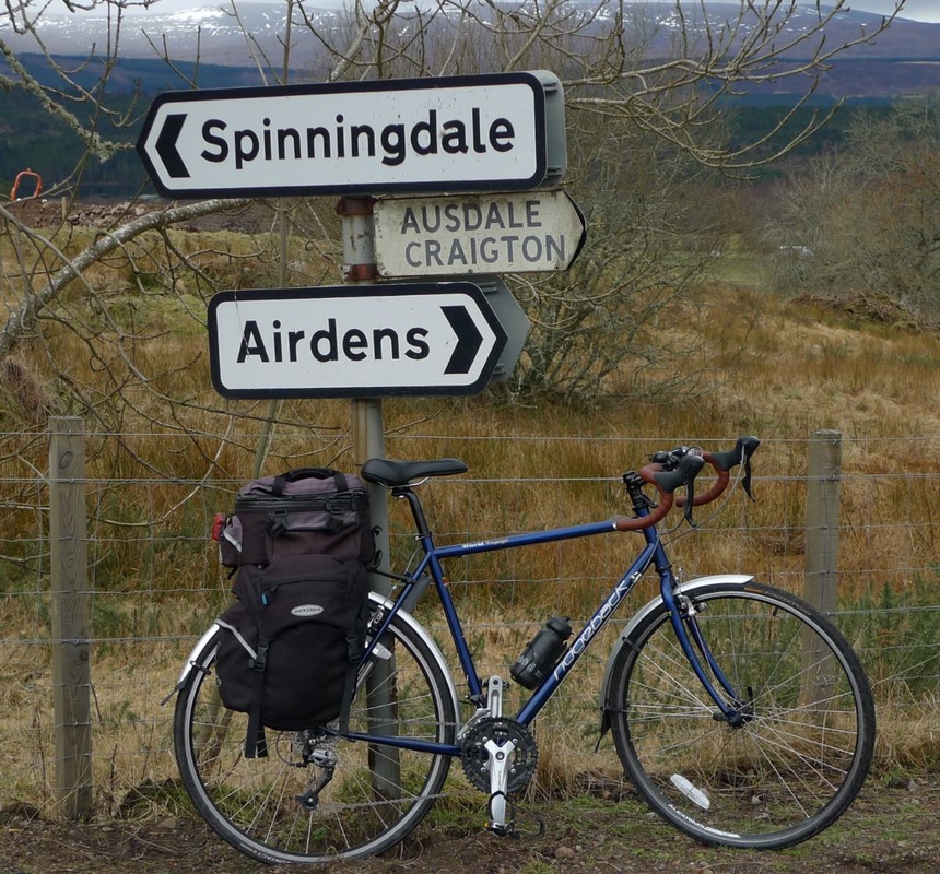
I reached the junction where I was to cut down to Spiningdale. I stopped to take a photo of road signs and had an amazing wildlife encounter. A pine marten, with its characteristic creamy yellow bib, was scurrying about a short distance away. I was surprised how big it was. I thought they would be smaller than this. I tried to get closer, but it disappeared. I was thrilled. I had never seen one before.
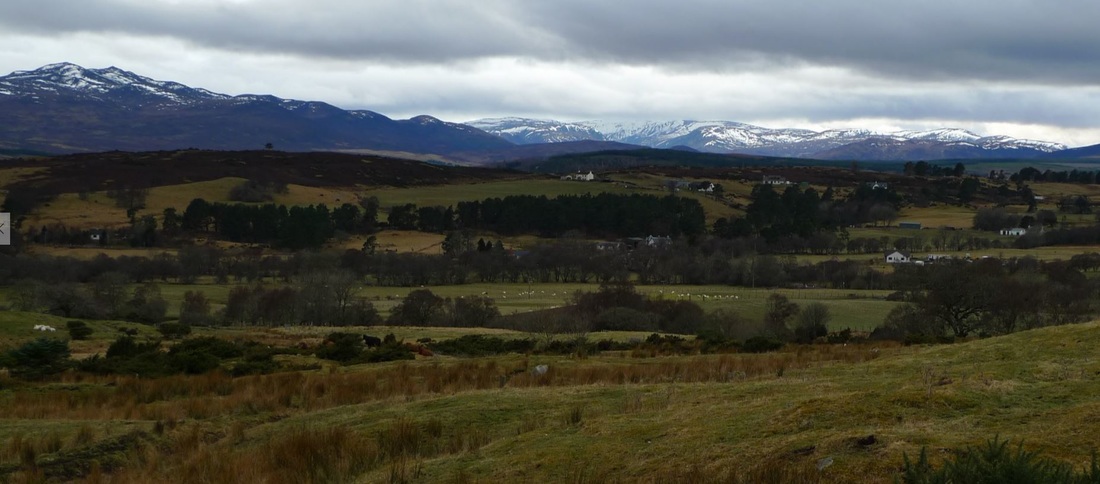
This road had even more magnificent views of the snow mountains. I kept stopping every few yards to stare at them. I just couldn't get up a good pace because the view just kept getting better and I just had to stop and take it in.
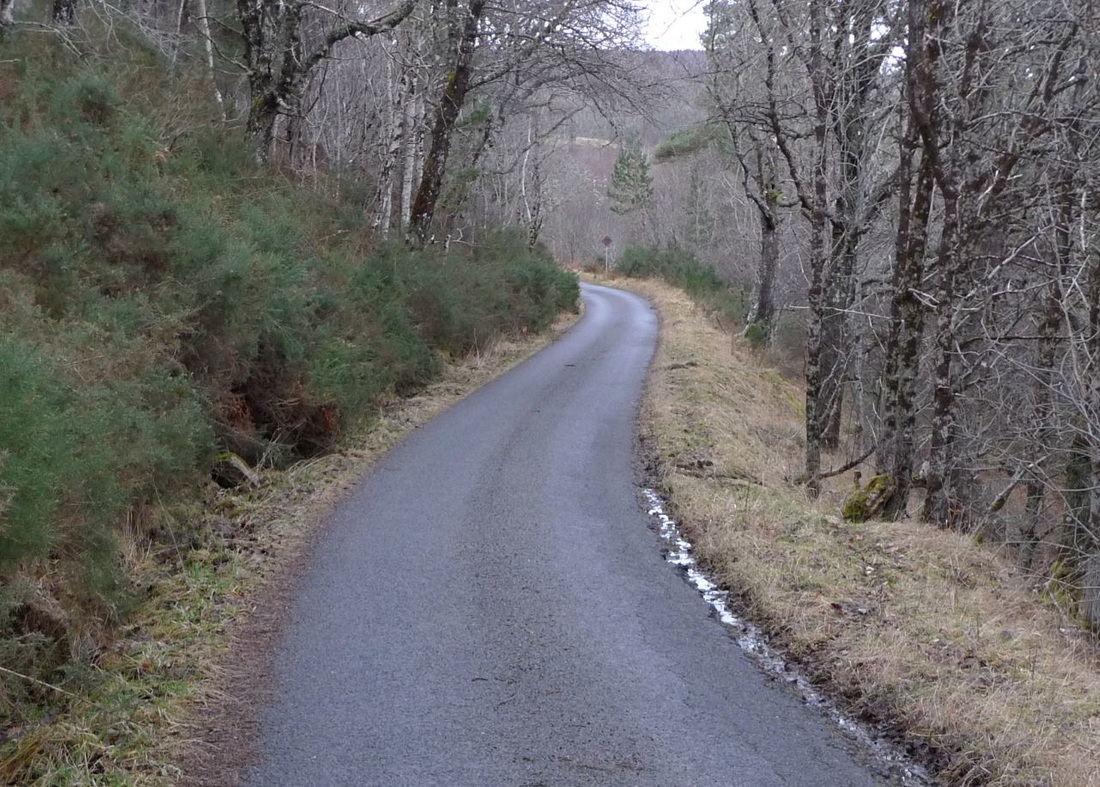
A fast descent, twisting through the forest provided the climax to this road. I just let myself go, did not stop and enjoyed the speed and smell of pine in the air. It was the perfect way to end a perfect cycle.
I emerged from the forest into the village of Spinningdale where I managed to simultaneously freak out a pheasant and a large tabby cat. The former shrieked in horror and stumbled against a farm gate as it made haste. The latter scampered along a stone wall and into some bushes.
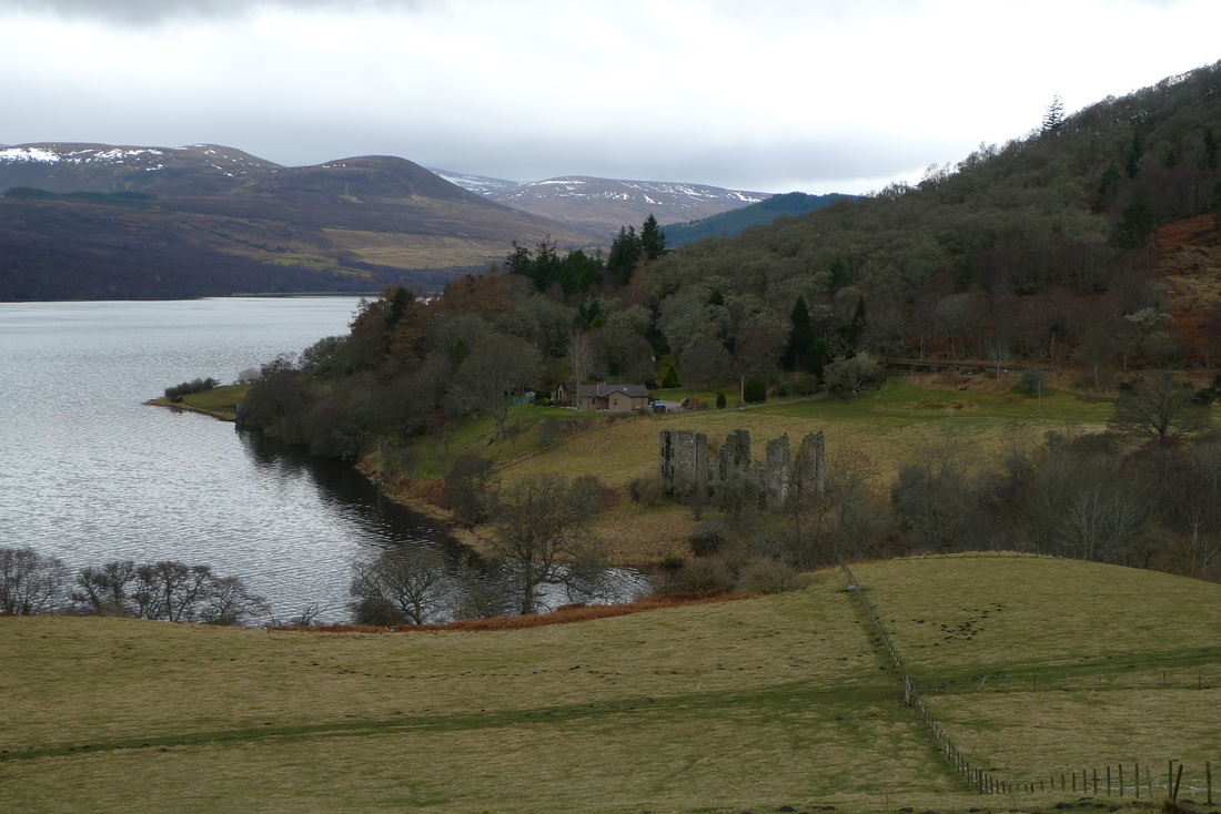
On leaving the village there is an uphill climb on the A949 that gives fantastic views over the Dornoch Firth and what I thought was a ruined castle. It is actually a cotton mill that was constructed in the 1790s and damaged by fire in 1806. The factory process of cotton-spinning gave the village its name and the cottages here were originally built to house the factory workers.
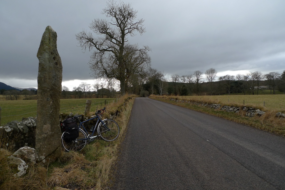
There is a standing stone alongside this road. The wall of the adjacent field carefully planned around it. There is nowhere for a car to stop here or nearby, but with a bicycle it was easy for me to take a closer look.
It is impossible to avoid the A9. On this route there is a total of 6 miles on the A9. This is a busy road and not recommended for inexperienced cyclists. Some parts of it are nice and wide with good lines of sight and provide plenty of room for overtaking vehicles. Other parts are much narrower.
A recommendation A little further east of Golspie you can visit Carn Liath Broch, well worth the 3 miles there and back.
4 Comments
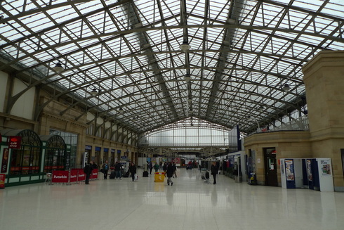
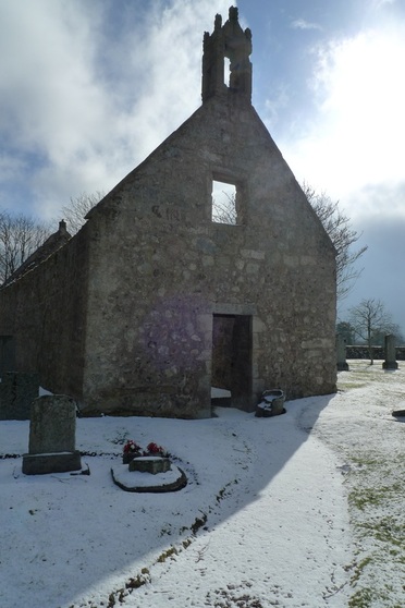
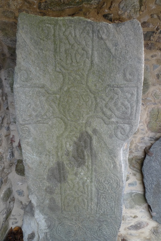
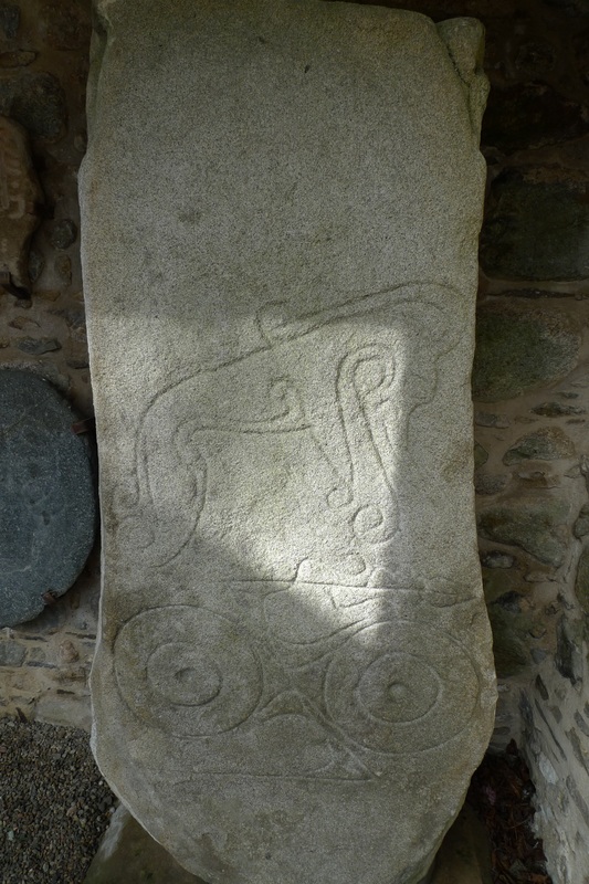
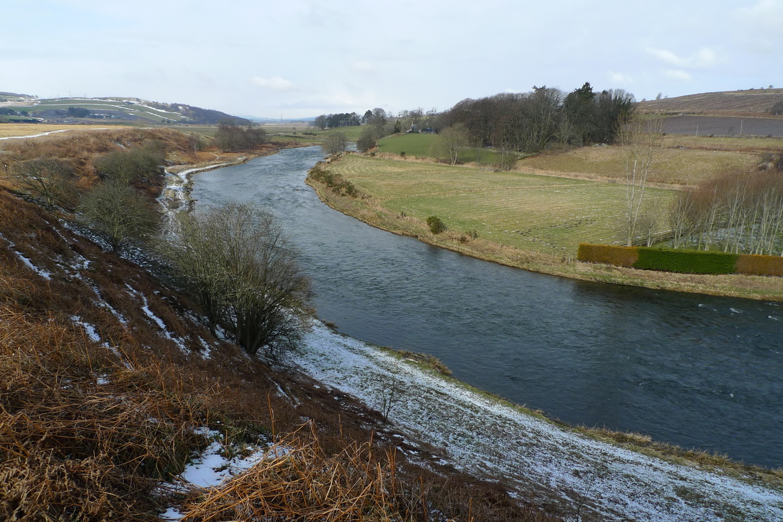
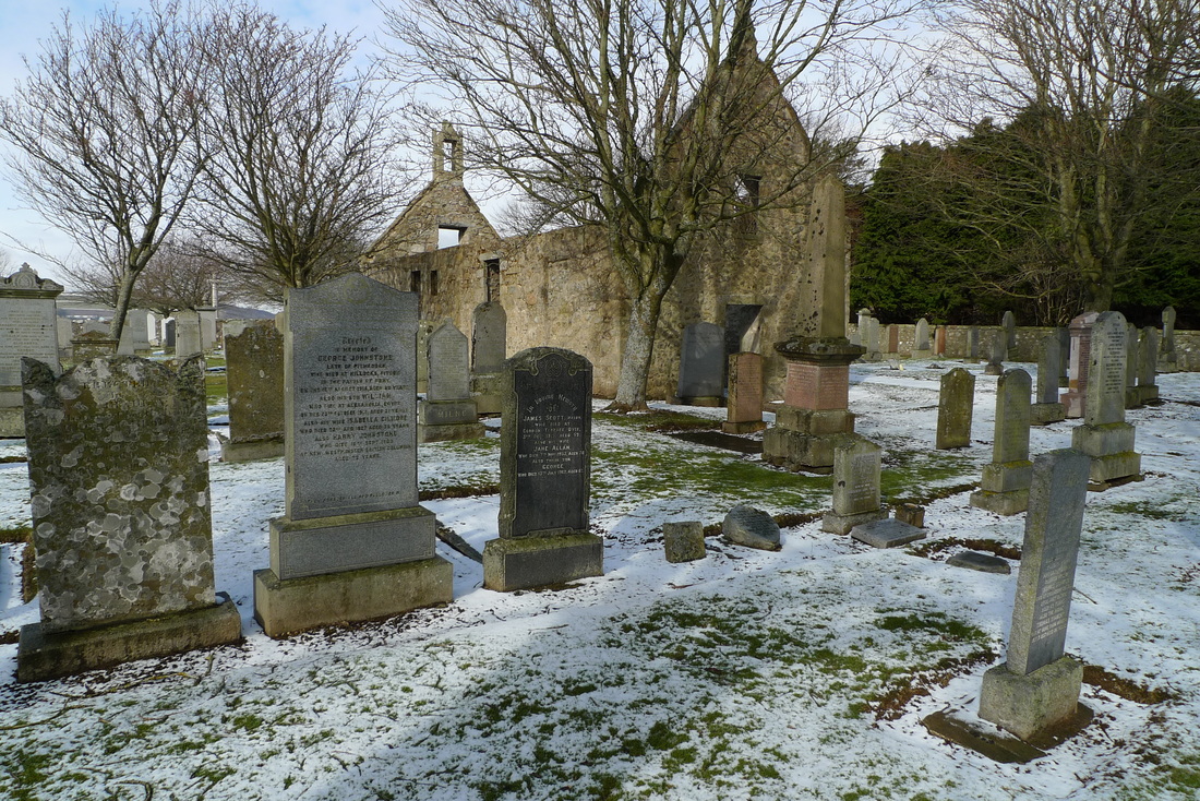
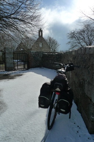
Problems on the railways ruin my plans, but divert me to sixth century standing stones in the snow. At Aberdeen station disaster struck. I tried to board my train to Inverurie and could not get on. People were squeezed up to the doors and stared back at me and my fully loaded bicycle, most probably thinking, “no chance!” I did the walk of shame back down the length of train, aware of being watched from the packed carriages. “I’ll get the next one!” I called out cheerily to the guard standing on the platform, trying to hide my disappointment and embarrassment. “Trespasser mate. On the line between Dyce and Inverurie. The train before was cancelled, like. They’re all piled onto this one now. Don’t know when we’ll get away. “ The guard delivered this information with a cheery voice and a smile as if telling his mates down the pub that his team had just won the match. He really didn’t seem bothered by it all and it made me determined to show him that I was equally relaxed about it. However, when I was told that the next train to Inverurie was not scheduled for over one and a half hours I could feel the annoyance bubbling inside my stomach. This was seriously going to ruin the cycling trip I had planned. I had a look at the departures board, just in case there was another option. There was a train to Dyce due in about 15 minutes. Was that of any use? I got out my map to see how possible it was to cycle from Dyce to Inverurie. I needed a route that avoided busy roads and motorways otherwise it was not an option.Yes! There it was, a route using mostly a minor road and some B roads. It was going to add another 15 miles to the trip, but it was better than standing about waiting for the next train to Inverurie that could also be delayed. I got on the train to Dyce and felt proud that I had managed to conjure up a plan B and rescue my trip. I didn’t really want to have to cycle between Dyce and Inverurie, but I looked upon it as a little adventure. When the ticket collector came round I explained why I had a ticket to Inverurie on a train that only went as far as Dyce, “I am going to try to cycle from Dyce to Inverurie.” She gave me that ‘are you mad’ look as we passed through a snowy landscape. The train only takes about ten minutes from Aberdeen to Dyce and I was soon cycling along roads that were not much fun. Dyce is where Aberdeen airport is located and there are a lot of office complexes and industrial units on the outskirts. This results in considerable traffic, some of which is articulated lorries that made me wince when they trundled past. I began to wonder if the coffee shop at Aberdeen station for a one and a half hour wait might have been preferable, but luckily it was not long until I reached the turn-off to the minor roads that would take me to Inverurie. Soon after leaving the roaring lorries behind me there was a sign, “Dyce Symbol Stones.” It pointed away from my route, but I was curious so I went to investigate. The road was fresh with snow and no tyre tracks, so I was the first on it this morning. It climbed to a spot overlooking a curve in the River Don, the sixth longest river in Scotland. There was a ruined chapel and churchyard with untouched snow leading to the gate. My tyre tracks the only evidence of activity. Inside the chapel are two standing stones, one on either side of the doorway. The oldest of the stones dates from the 6th century and has some sort of beast and Pictish symbols carved into it. These symbols remain a mystery with no definitive answer as to their meaning. The other stone has an easier carving to understand- a cross. The Picts were a group of people who lived in eastern and northern Scotland during the Late Iron Age and early Middle Ages. This region of Scotland has an abundance of Pictish stones and they mostly sit in natural surroundings, often exposed to the elements. The chances are high that you will be the only person at the time of your visit and you will have silence and space to appreciate the stones and perhaps come up with your own theories about the meanings of the carvings. Utter peace and quiet is what I experienced in this place. Only minutes away there were busy roads, noise and industry, but in this spot there was solitude. I really wanted to stay longer, perhaps sit down for half an hour and empty my head, but I had to push on and get to Inverurie. Even on a cycling trip time is precious. If it was not for a delayed train I would never have discovered this place, so it was one of those rare occasions that I was happy to be a victim of a public transport disaster.
Getting there
Dyce is a 10 minute train journey from Aberdeen. Aberdeen can be reached by train from Edinburgh in around 2 hours 20 minutes. From London journey time to Aberdeen is around 7 to 8 hours. The Dyce Symbol Stones are a 2.2 mile cycle from Dyce train station. The route is shown on the map. Leave the station on Station Road which takes you to a crossroads. Turn left onto Victoria Street. Then take the second road on the left- Pitmedden Road. Parts of Pitmedden Road can be busy with traffic, but at these points the road is wide enough for safe passing. Follow this road until you see the sign for the Symbol Stones which involves a right turn and crossing a bridge over the railway. There is an old pillbox guarding the bridge. Take this road until the churchyard comes into view. Dyce is also the starting point of the Formartine and Buchan Way, a cycle and walking path over a disused railway line. This goes all the way to Fraserburgh and Peterhead. You can read about my cycle on this route in Riding the rails. You could combine a visit to the Dyce Symbol Stones with a cycle on the Formartine and Buchan Way. |
Categories
All
Archives
July 2024
|


